Discover Toronto's history as told through its plaques
2004 - Now in our 14th Year - 2018
To see what's new on this site, you can visit the Home Page
Looking at this page on a smartphone?
For best viewing, hold your phone in Landscape mode (Horizontal)
Fort York
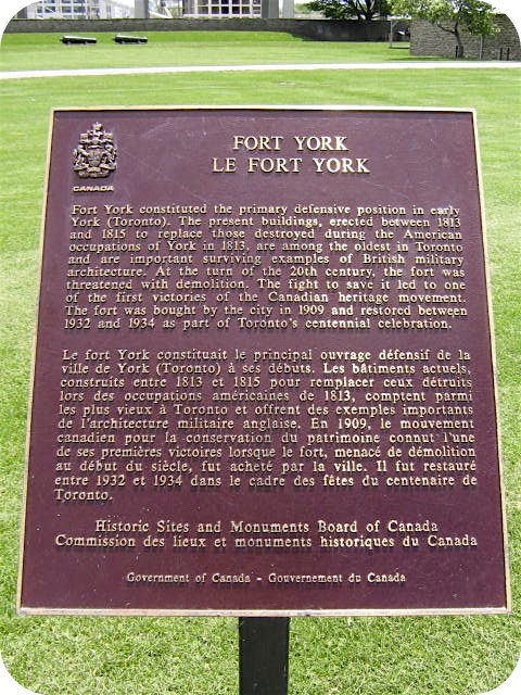
Photo by Alan L Brown - Posted May, 2008
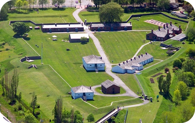
Photo Source - Wikimedia Commons
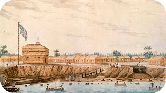
Photo Source - Wikimedia Commons
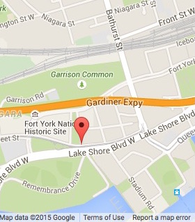
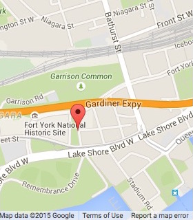
In Fort York, beside the north walkway, is an Historic Sites and Monuments Board of Canada plaque (Note: this plaque has been removed as of April 2015). Here's what it tells us about the fort:
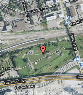
Coordinates: 43.639150 -79.403300 |
 |
Fort York constituted the primary defensive position in early York (Toronto). The present buildings, erected between 1813 and 1815 to replace those destroyed during the American occupations of York in 1813, are among the oldest in Toronto and are important surviving examples of British military architecture. At the turn of the 20th century, the fort was threatened with demolition. The fight to save it led to one of the first victories of the Canadian heritage movement. The fort was bought by the city in 1909 and restored between 1932 and 1934 as part of Toronto's centennial celebration.
Related webpages
Fort York
Reclaiming Unloved History At Fort York
Fort York Maps
York
Battle of York
Toronto's centennial celebration
Related Toronto plaques
The Battle of York 1813
Colonel W.J. Stewart
The Defence of York
Fort York
Landing of American Troops at York
Military Burial Ground
The Old Garrison Burying Ground 1794-1863
The Second Invasion of York
Victoria Memorial Square
The War of 1812 & the Siege of York
More
Conflict
Below are 5 related plaques which can be found
in the Fort York Neighbourhood just east of the fort.
Angelique Street

Photos and transcription by contributor Wayne Adam - Posted May, 2015
In the sidewalk at the northeast corner of Fleet Street and Angelique streets can be found this 2011 Heritage Toronto plaque. Here's what it says:
Coordinates: 43.636277 -79.405322 |
 |
Angelique Givins (c. 1775-1842), in her house near present-day Queen and Givins Streets, provided care to Aboriginal warriors wounded in the Battle of York. She was later forced from her home by plundering American troops.
Related Toronto plaque
Colonel James Givins
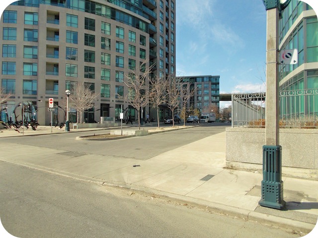
Bastion Street
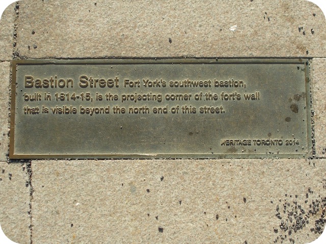
Photos and transcription by contributor Wayne Adam - Posted May, 2015
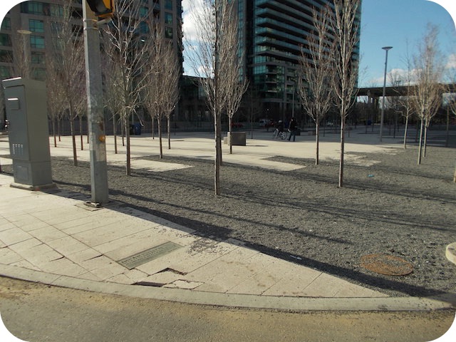
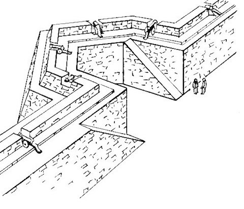
Photo Source - Wikipedia
In the sidewalk at the northwest corner of Fleet and Bastion Streets can be found this 2014 Heritage Toronto plaque. Here's what it says:
Coordinates: 43.636014 -79.403604 |
 |
Fort York's southwest bastion, built in 1814-15, is the projecting corner of the fort's wall that is visible beyond the north end of this street.
Related webpage
bastion
Sloping Sky Mews
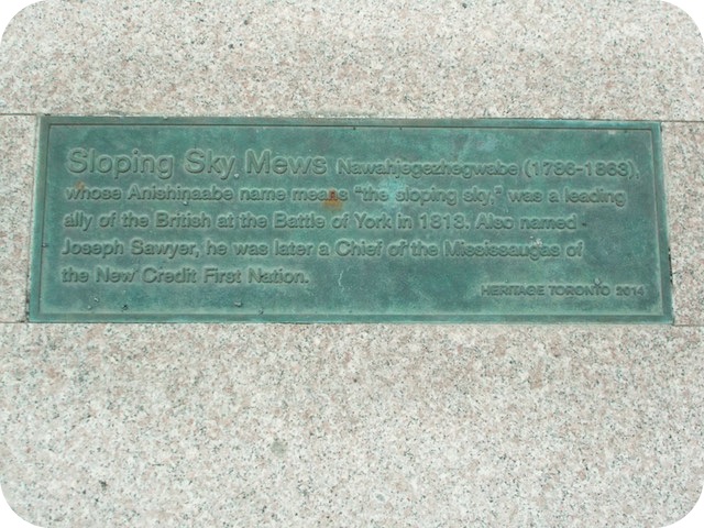
Photos and transcription by contributor Wayne Adam - Posted May, 2015
In the sidewalk on the west side of Bastion Street at Sloping Sky Mews can be found this 2014 Heritage Toronto plaque. Here's what it says:
Coordinates: 43.636670 -79.403773 |
 |
Nawahjegezhegwabe (1786-1863), whose Anishinaabe name means "the sloping sky," was a leading ally of the British at the Battle of York in 1813. Also named Joseph Sawyer, he was later a Chief of the Mississaugas of the New Credit First Nation.
Related webpages
Nawahjegezhegwabe
Anishinaabe
Mississaugas of the New Credit First Nation
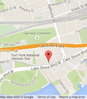
Grand Magazine Street
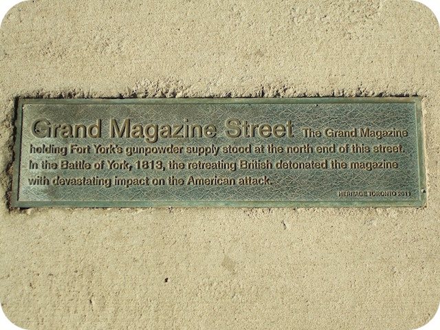
Photos and transcription by contributor Wayne Adam - Posted May, 2015
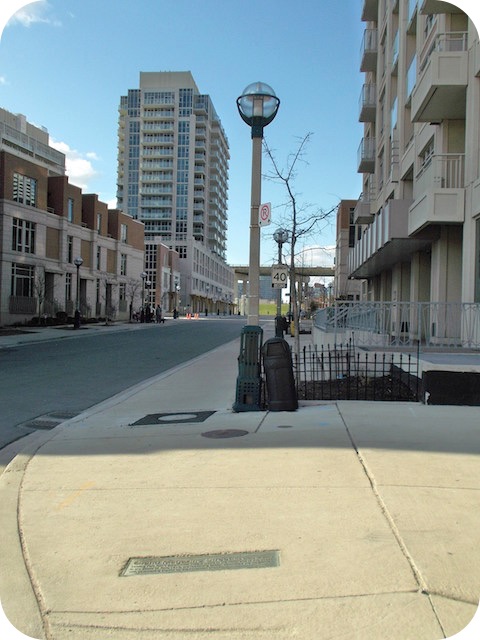
In the sidewalk at the northeast corner of Fleet and Grand Magazine Streets can be found this 2011 Heritage Toronto plaque. Here's what it says:
Coordinates: 43.636169 -79.402007 |
 |
The Grand Magazine holding Fort York's gunpowder supply stood at the north end of this street. In the Battle of York, 1813, the retreating British detonated the magazine with devastating impact on the American attack.
Bruyeres Mews
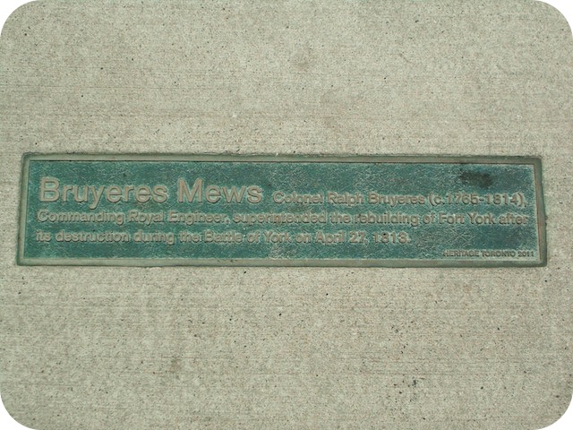
Photos and transcription by contributor Wayne Adam - Posted May, 2015
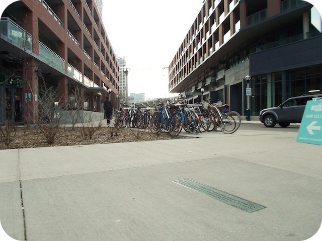
Inlaid in the sidewalk at the southwest corner of Bathurst Street and Bruyeres Mews can be found this 2011 Heritage Toronto plaque. Six other Heritage Toronto plaques can been seen further down this page. All are in the same Fort York neighbourhood. Here's what this plaque says:
Coordinates: 43.639150 -79.403300 |
|
Colonel Ralph Bruyeres (c. 1765-1814), Commanding Royal Engineers, superintended the rebuilding of Fort York after its destruction during the Battle of York on April 27, 1813.
Related webpage
Ralph Bruyeres
Here are the visitors' comments for this page.
> Posted October 20, 2016
This plaque has been removed and will likely be grouped with memorial plaques to Zebulon Pike and the battle which were installed in the 1930s and displayed in a stone wall inside the fort until 2010. Meantime, large photo reproductions of the Pike and battle plaques (but not this one) are on display upstairs in the Number 1 (East) blockhouse at the fort. -Wayne
Here's where you can send me a comment for this page.
Note: Your email address will be posted at the end of your comment so others can respond to you unless you request otherwise.
Note: Comments are moderated. Yours will appear on this page within 24 hours (usually much sooner).
Note: As soon as I have posted your comment, a reply to your email will be sent informing you.
To send me your comment, click [email protected].
Thanks
Webmaster
Note: If you wish to send me a personal email, click here.