Discover Toronto's history as told through its plaques
2004 - Now in our 15th Year - 2019
To see what's new on this site, you can visit the Home Page
Looking at this page on a smartphone?
For best viewing, hold your phone in Landscape mode (Horizontal)
Toronto's Huron-Wendat Heritage
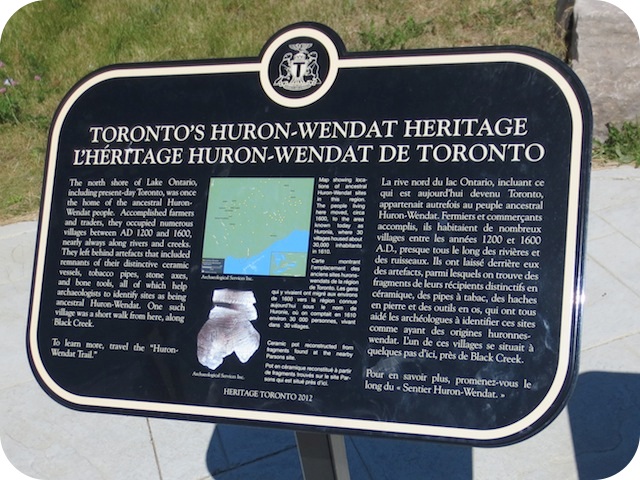
Photos by Alan L Brown - Posted August, 2013
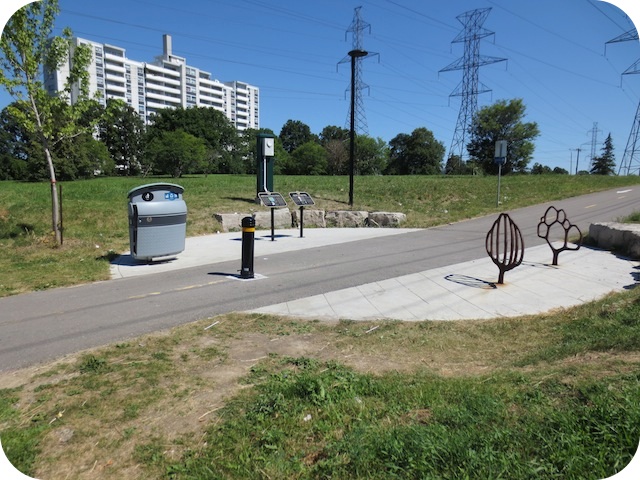
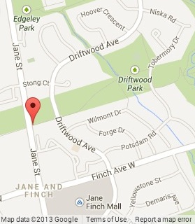
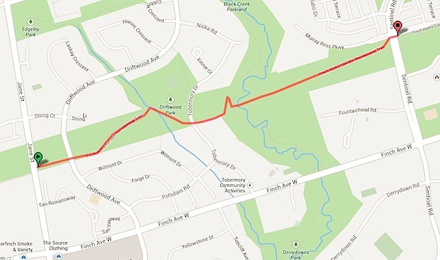
This 2012 Heritage Toronto plaque, one of four along the Huron-Wendat Trail, is located on the east side of Jane Street in the Hydro Corridor, north of Finch Avenue West. An identical copy can be seen on the southeast corner of Sentinel Road and Murray Ross Parkway. Here's what it says:
Coordinates: 43.76012 -79.5181 |
 |
The north shore of Lake Ontario, including present-day Toronto, was once the home of the ancestral Huron-Wendat people. Accomplished farmers and traders, they occupied numerous villages between AD 1200 and 1600, nearly always along rivers and creeks. They left behind artifacts that included remnants of their distinctive ceramic vessels, tobacco pipes, stone axes and bone tools, all of which help archeologists identify sites as being ancestral Huron-Wendat. One such village was a short walk from here, along Black Creek.
Another plaque at this location
How The Earth Was Formed
Other Huron-Wendat Trail plaques
Parsons Site
Transforming Village Life
A Map of the Huron-Wendat Trail
Related webpages
The Life of the Huron Wendat
Black Creek
Related Toronto plaque
Huron-Wendat Villages on the Humber River
More
First Nations
Here are the visitors' comments for this page.
(none yet)
Here's where you can send me a comment for this page.
Note: Your email address will be posted at the end of your comment so others can respond to you unless you request otherwise.
Note: Comments are moderated. Yours will appear on this page within 24 hours (usually much sooner).
Note: As soon as I have posted your comment, a reply to your email will be sent informing you.
To send me your comment, click [email protected].
Thanks
Webmaster
Note: If you wish to send me a personal email, click here.