Discover Toronto's history as told through its plaques
2004 - Now in our 14th Year - 2018
To see what's new on this site, you can visit the Home Page
Looking at this page on a smartphone?
For best viewing, hold your phone in Landscape mode (Horizontal)
Don Mills
Photos by Alan L Brown - Posted March, 2004

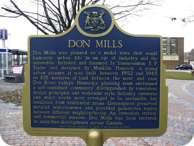
This Ontario Heritage Trust plaque here on the northeast corner of Don Mills Road and Lawrence Avenue East has this to say:
Coordinates: 43.73743 -79.34322 |
 |
Don Mills was planned as a model town that would humanize urban life in an age of industry and the automobile. Initiated and financed by businessman E.P. Taylor and designed by Macklin Hancock, a young urban planner, it was built between 1952 and 1965 on 835 ha of land between the west and east Don River valleys. Hancock's planning team envisioned a self-contained community distinguished by consistent design principles and modernist style. Industry, commerce and major roads were arranged to be accessible but insulated from residential areas. Greenspaces preserved natural watercourses and provided pedestrian routes between different neighbourhoods. An immediate critical and commercial success, Don Mills has been imitated in suburban developments across Canada.
Related webpages
Don Mills
Don River
E.P. Taylor
cul-de-sac
urban planning
Related Toronto plaque
Early Don Mills
More
Neighbourhoods, Villages and Towns
Here are the visitors' comments for this page.
> Posted June 25, 2012
Very proud to be from Don Mills - thanks for posting this info!
Here's where you can send me a comment for this page.
Note: Your email address will be posted at the end of your comment so others can respond to you unless you request otherwise.
Note: Comments are moderated. Yours will appear on this page within 24 hours (usually much sooner).
Note: As soon as I have posted your comment, a reply to your email will be sent informing you.
To send me your comment, click [email protected].
Thanks
Webmaster
Note: If you wish to send me a personal email, click here.